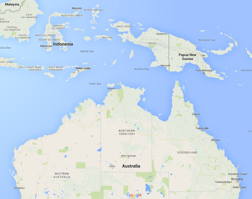
Willem Janszoon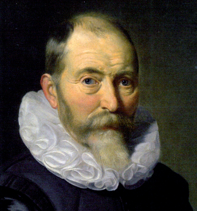
|
DuyfkenSource 1: Replica of the Duyfken, 2006
|
Who discovered Australia?
The most significant exploration of Australia in the 17th century was by the Dutch. It was around this time the Dutch East India Company was trading with islands that now make up Indonesia.
The first ship and crew to chart part of the Australian coast (the west coast of Cape York Peninsular in Queensland) and meet with Aboriginal people was the Duyfken, in 1606, captained by Dutchman Willem Janszoon
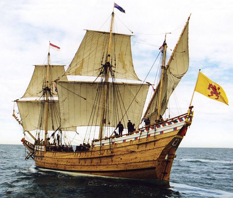
Look at the old map below |
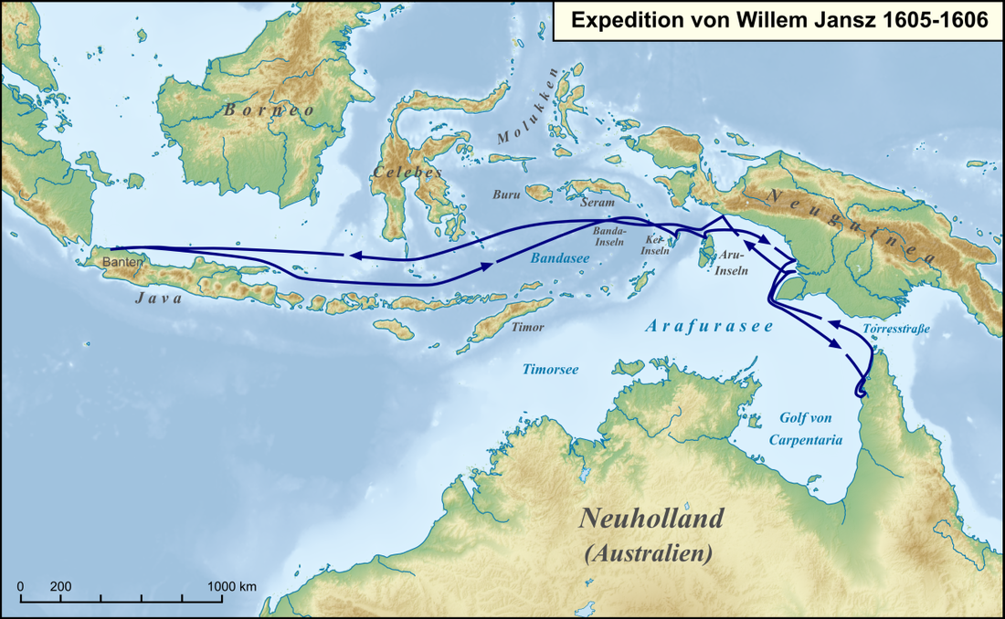
Look at the new map below |
|
Observe
What information is included on the map? What locations are shown? What features does the map contain? (eg border, title) How has the map been created? Infer What was the direction of the journey? Why do you think that? Why are parts of the map incomplete? What is the purpose of the map? What part of Australia is shown on the map? |
Compare
Compare the 1670 map of the journey (Source 1) with a contemporary map of Australia (Source 3). View present day images of Pennefather River, Cape York Peninsula |
|
Source 2: 1670 copy of map of the voyage of Willem Janszoon in the Duyfken, 1605–06
|
Source 3: Map of the voyage of Willem Janszoon in 1605–06
|

|
|
Source 4: Look at the image below?
What does the picture tell you?
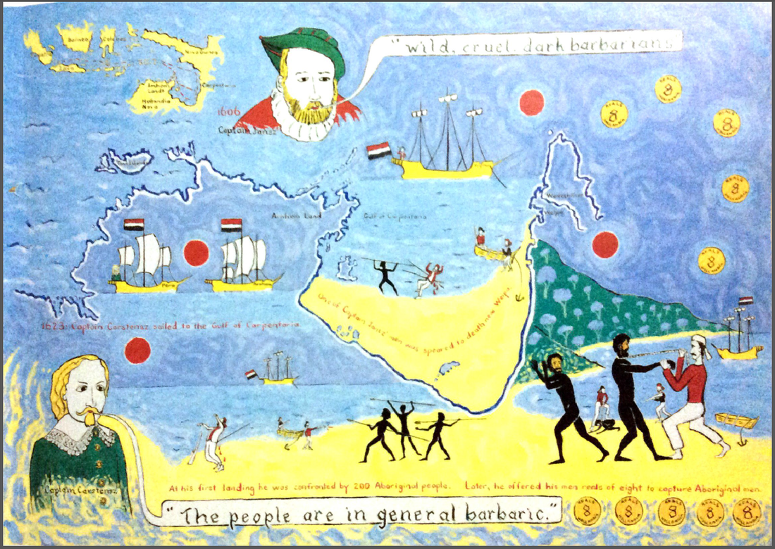
Why did the journey occur?
In order to search for trading opportunities beyond the reaches of the lands they knew existed, the Dutch East India Company sent off Willem Janszoon on a journey of exploration. In 1605 he and his crew set off in the ship the Duyfken. Willem took it south-east, charting lands as he went. He landed on the western tip of Australia’s Cape York Peninsular, not realising it was a separate continent. Willem Janszoon is considered to be the first authenticated European to have landed on Australia.